AI Fantasy Map Generator

AI Fantasy Map Generator

Sketch out the world in words: an island kingdom, a mountain border or a chain of settlements around an inland sea. Virse creates an illustrated fantasy map concept from that description. Use it to discuss the setting and atmosphere, then add precise names or game details in your finishing workflow.

Input
World brief · RequiredSketch or existing map · OptionalStyle & color reference · OptionalPlace names & legend text · OptionalMap art style · OptionalMap scope · OptionalVariant mode · Optional
Output
Fantasy map images fitted to the scope ratio (world/continent 16:9, region and dungeon 4:3, town 1:1); optionally 2 or 3 style/composition variants sharing one aspect ratio, or the same map in both 16:9 landscape and 9:16 portrait — each generated independently
Sketch or existing mapOptional

Your image is uploaded on the canvas — this form carries the settings.

Style & color referenceOptional

Map art styleOptional
Map scopeOptional
Variant modeOptional

How AI Fantasy Map Generator Works

An AI fantasy map generator creates an illustrated map image from a world description. Virse helps explore terrain and atmosphere as artwork. It is not an interactive cartography editor, geographic database or terrain simulation.

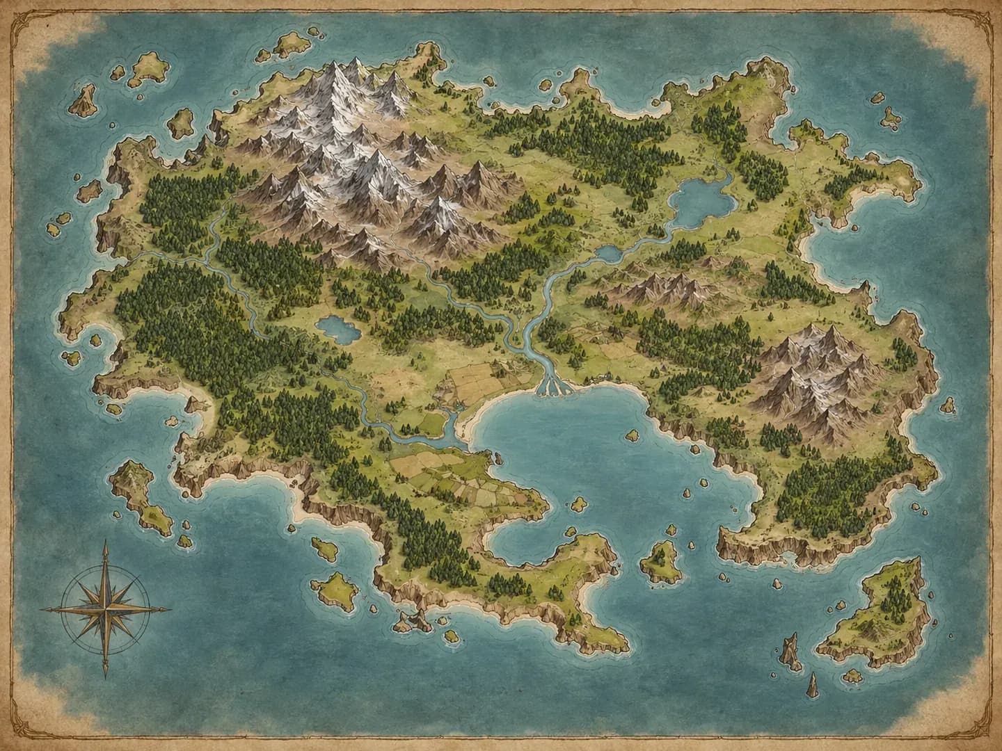
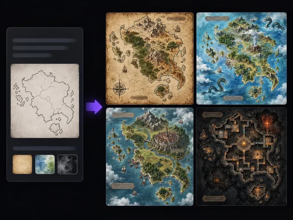
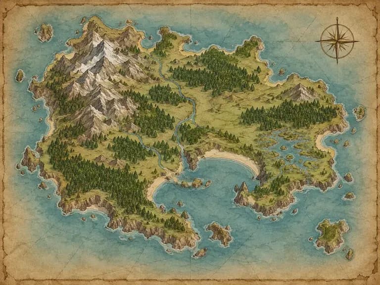
An original unlabeled parchment map of an island kingdom with mountains and a sheltered bay
Illustrative concept: an original unlabeled parchment map of an island kingdom with mountains and a sheltered bay

What You Can Explore in Virse

Decide which parts of the world matter to the story. A few clear regions and landmarks give the map a useful focus.

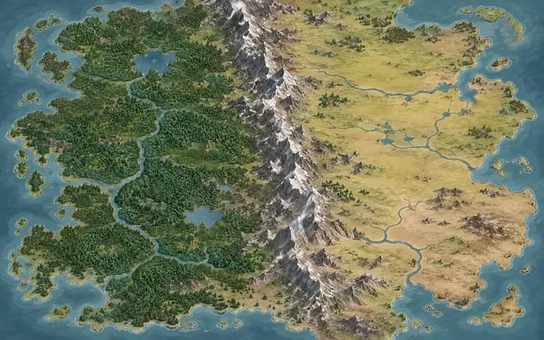
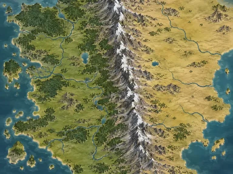
An unlabeled illustrated map with a mountain chain dividing forest and plains

Describe the World's Structure

Explain the main landforms and their relationships. Say whether a mountain chain divides two regions or settlements follow a coast, rather than listing disconnected landmarks.
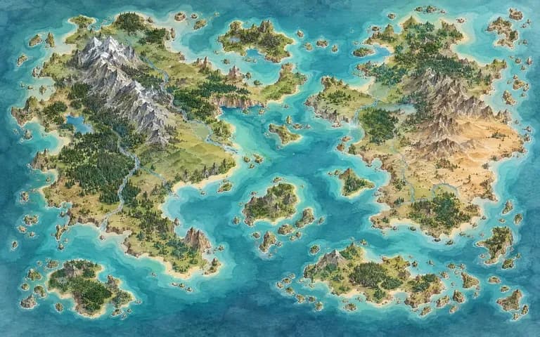
An original watercolor fantasy map of islands and turquoise channels

Explore Map-Making Styles

Try parchment ink, watercolor terrain or a clean illustrated look. Choose a style that suits the world and the way the image will be used.
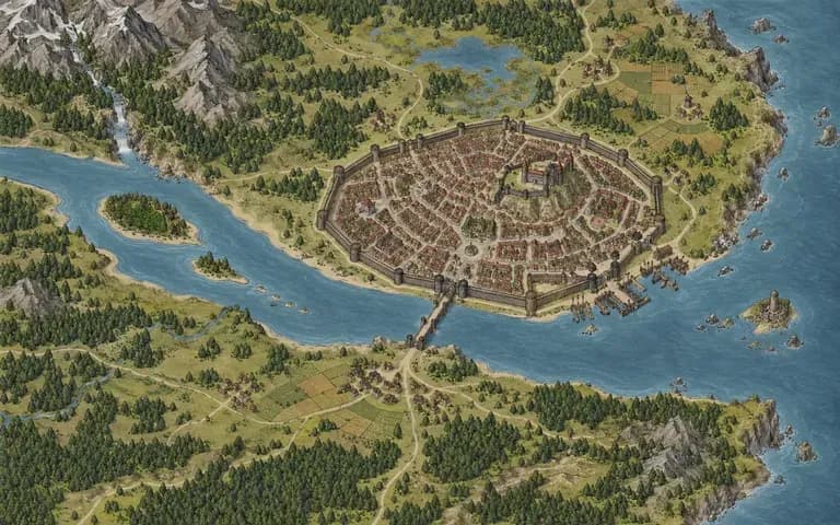
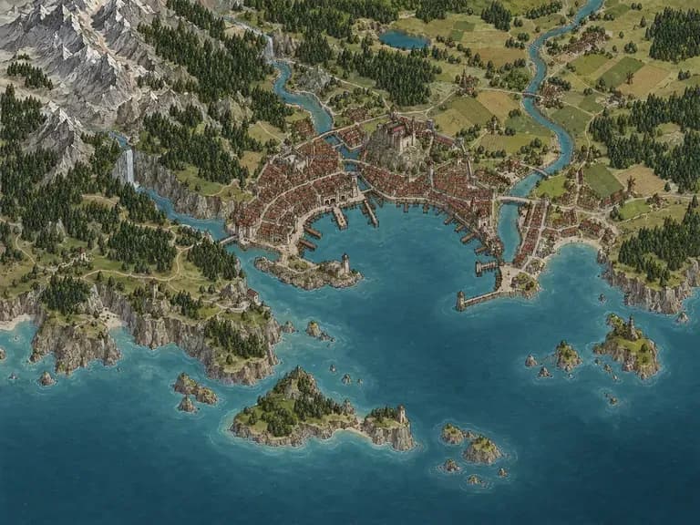
An original illustrated map of a walled city beside a river

Keep World Concepts Together

Compare map directions alongside location references on your canvas. Check whether the layout supports the story before treating a landmark as settled.

How to Get Started

  1. Outline the World

    Describe the scale, major landforms and a few important locations. Start with a region if the complete world is too complex.

  2. Choose the Map Style

    Name the visual treatment and level of detail. Add a sketch if it helps explain the rough arrangement.

  3. Generate the Map Image

    Continue in Virse and review the terrain, coastline and placement of major landmarks. Treat the image as an interpretation of the brief.

  4. Add Precise Details Separately

    Check the geography and add exact names, distances or rules in a suitable editing workflow. Keep a record of your final world decisions.

Who Uses This Tool?

A map concept can make an imagined setting easier to discuss without pretending to be a complete world-building system.
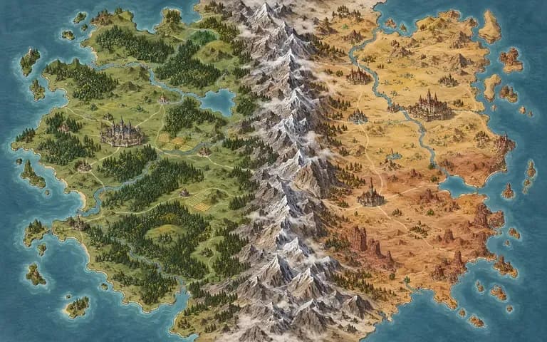
An original map of two kingdoms separated by a mountain range

Fantasy Writers

Explore the relationship between places in a story. Use the image as inspiration, then verify travel routes and distances in your own notes.
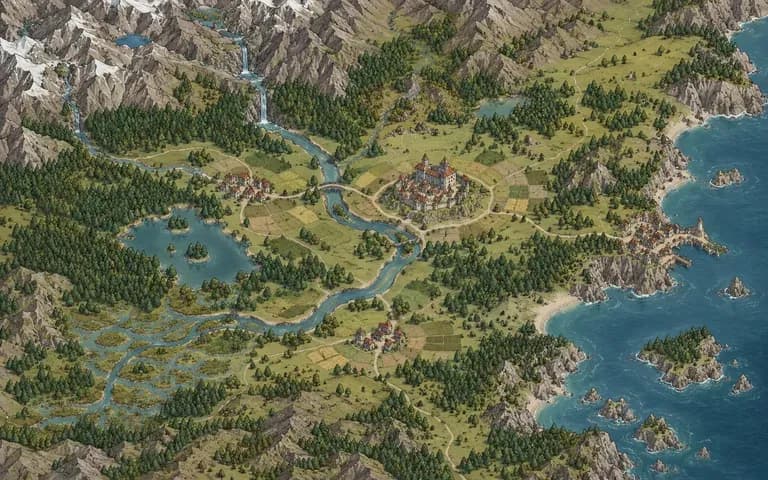
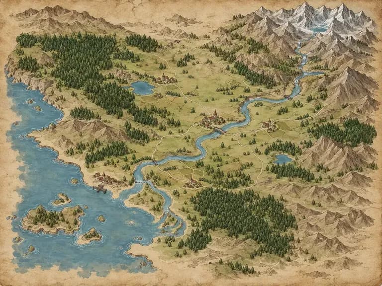
An original unlabeled map of a small valley and its settlements

Tabletop Game Masters

Develop a visual handout or regional mood reference. Add exact encounter information and labels separately.
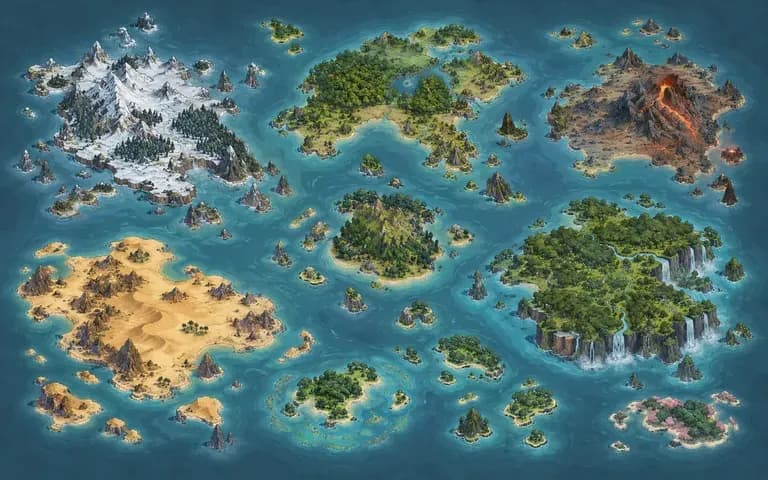
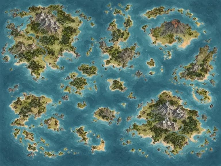
An original stylized archipelago map with distinct island biomes

Game Concept Artists

Explore an imagined world's visual language. Treat the map as concept art rather than an editable level or terrain file.
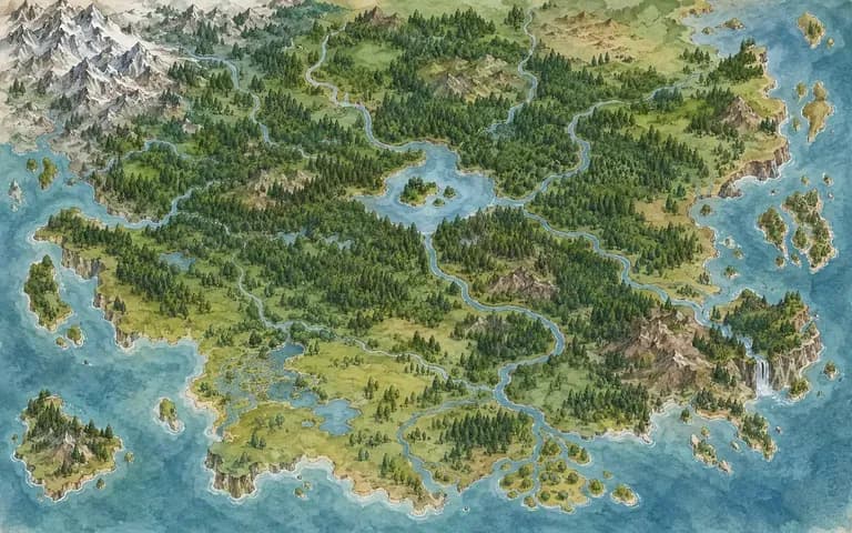
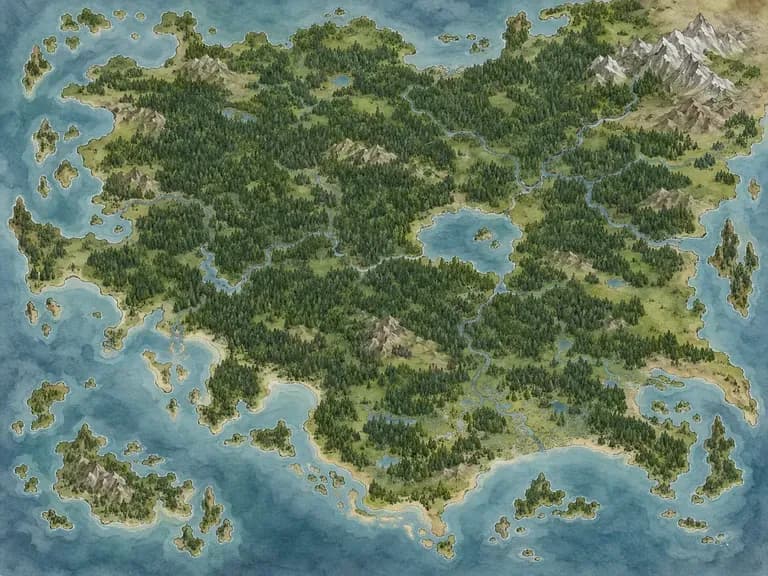
An original watercolor map of a forest realm

World-Building Hobbyists

Try alternative coastlines and settings for a personal project. Compare the options before choosing the geography you want to develop.
Ideas to Try

An original parchment island map with a sheltered harbor
Island Kingdoms: A focused region surrounded by water
An original map with a long mountain ridge between two plains
Mountain Borders: Terrain that divides regions
An original watercolor map dominated by dense forests
Forest Realms: Woodland as the main setting
An original unlabeled illustrated port city map
Coastal Cities: Settlements shaped by a shoreline
An original fantasy map of scattered islands and channels
Archipelagos: A world spread across islands
An original parchment valley map with a river and small villages
Hidden Valleys: A smaller setting with clear landmarks

Frequently Asked Questions

Can I describe my own world?
Yes. Explain the major landforms, scale and relationships between places. A focused region is often easier to review than a very detailed world in one prompt.
Can I move cities or redraw coastlines manually?
This page creates a map image. It does not provide draggable landmarks, coastline drawing tools or an interactive terrain editor.
Are the place names reliable?
Treat generated labels as visual elements, not exact text. Add essential names and legends separately when spelling and placement matter.
Does it simulate rivers, climate or geography?
No. The map is generated artwork. Check whether its geography makes sense for your story or game instead of assuming a physical simulation produced it.
Can I export SVG, GeoJSON or a map project?
This workflow creates a raster map image. It does not provide those editable cartography or geographic data formats.
Can I use the map for a tabletop campaign?
Use it as a visual concept or handout after review. Add any exact grid, distances, labels and encounter rules in the tools used for your campaign.

Put Your Imagined World on the Page

Describe a region and the landmarks that matter. Compare the map concepts, then refine the geography and exact labels for your story or game.